For one reason or another I didn’t get out much this Easter. The time was spent ‘planning’ and faffing with things like recalcitrant computers and printers, failing to resolve seemingly simple problems that I won’t bore you with, but which after perusal of some forums turn out to be puzzling minds much sharper than mine.
A short circuit from home on a rainy Sunday confirmed that spring is really going strong, with lots of plants coming into flower. An ideal time of year for a long distance walk like the one that Conrad was attempting from Berwick to Castle Cary on the south coast. Later, I discovered that Conrad had tripped and fallen, finishing up with a broken arm in a hospital in Durham and having to abandon his walk. A great shame. We were looking forward to him coming through Timperley.
I didn’t take my camera, and the phone doesn’t have a macro feature that I am able to work, so apologies for the quality of these flower pictures taken in the Woodheys Park area.
Bluebells, Forgetmenots (Field?), Daffodils, Cranesbills (not pictured), Garlic Mustard and Marsh Marigolds and White Dead-nettles, to name just a few.
At the western end of my stroll the Trans Pennine Trail is encountered, but my route eschews that on this occasion and takes a slither down to the dismantled railway that used to link West Timperley with Glazebrook. There’s a move to reinstate this railway and rebuild West Timperley station.
‘Ambitious plans are being unveiled to create a heritage railway along the disused rail route between Irlam in Salford and Timperley in Trafford.
There will be a footpath and cycleway running parallel to historic steam and diesel trains.
The £25 million - £30 million project would involve relaying the track and rebuilding stations and reinstating the Cadishead Viaduct along the six mile route.’
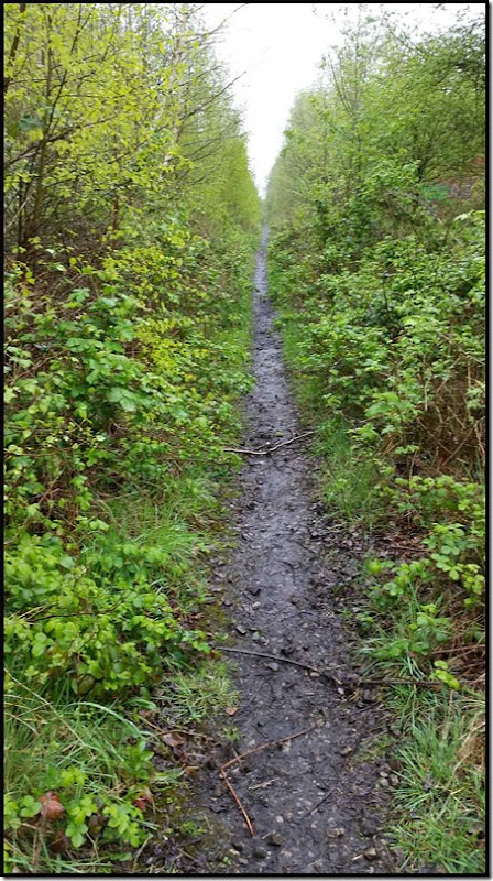
The old trackway is pretty overgrown but can be walked as far as the point from where you can slither down to the Bridgewater Canal. It’s overgrown though, even at this time of year. Wet legs from the foliage.
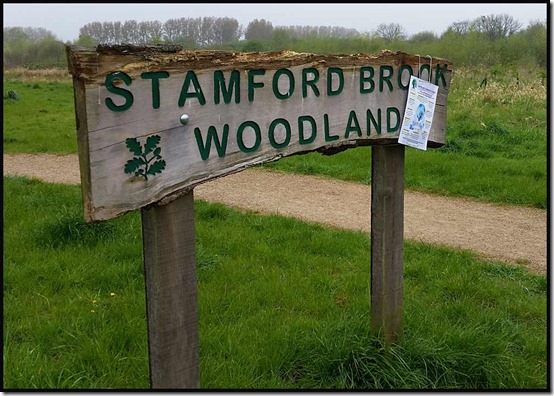
I left the trackway at Stamford Brook, where the National Trust has sold off a lot of the land it owned as part of the Dunham Massey Estate. A huge new housing estate has arisen, at the western end of which is an area still known by its ancient name of Malljurs Covert. A surfaced loop path through newly planted trees has been constructed here, under the easier nomenclature of ‘Stamford Brook Woodland’.
There are many paths through the maze of houses, all with a strip down the middle that I think may be an attempt to separate cyclists from walkers. There are not often many of either, and there are extra muddy paths around the perimeter of the estate that the planners didn’t realise would be needed.
My route to the canal left the new estate and crossed the ‘dismantled railway’, which at this point has not been dismantled, although it’s 33 years since the last need to ‘Stop, Look, Listen’.
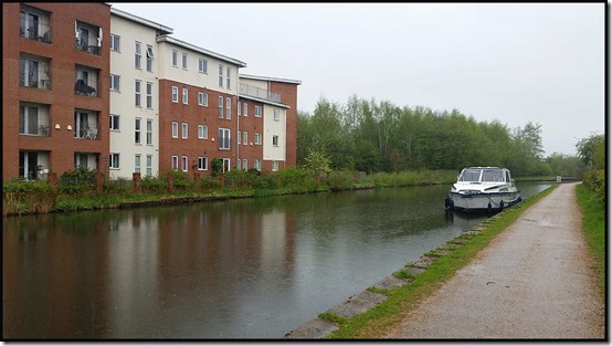
Having reached the canal, it’s a short walk to Timperley Bridge and the twitten that leads to our house.
A gentle 7.5 km in light rain, hence the strange absence of people on the towpath! I soon dried out.


No comments:
Post a Comment